Join the foundation and contribute to the future of robotic infrastructure & protocols
Apply today


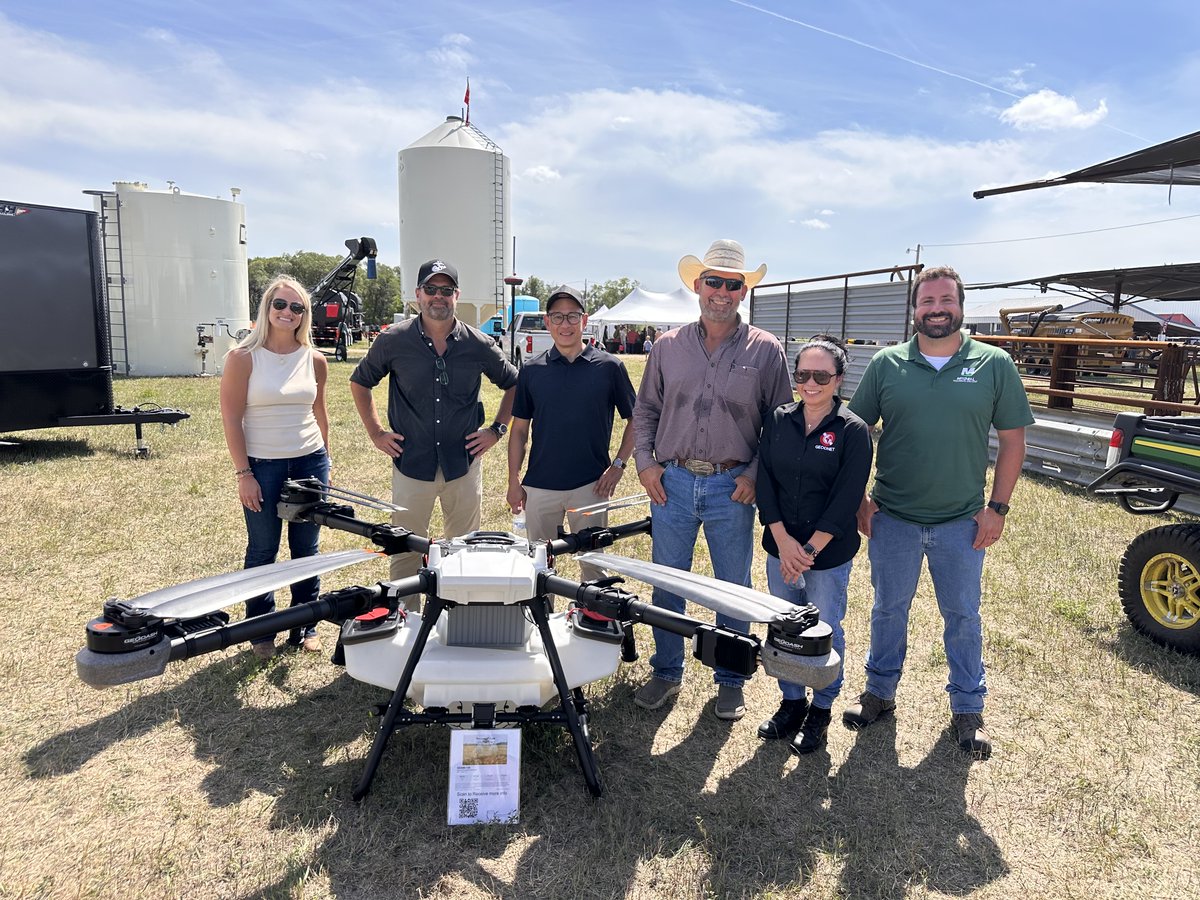
Farmers lose money every time a spray drone drifts a few centimeters. Overlap wastes chemical. Gaps leave weeds. Traditional GPS cannot stop it.
At Dakotafest 2026 in Mitchell, South Dakota, GEODNET fixed the problem in public. The team worked with DroneDash and Mitchell Technical College. They flew a GEODASH Aerosystems spray drone on the GEODNET RTK network.
The drone held exact field boundaries. AI vision from DroneDash guided the spray. The result: zero overlap, zero drift, zero wasted chemical. Farmers and operators watched it happen live.
GEODNET’s decentralized network delivers this accuracy without expensive private base stations. Community nodes provide the corrections. Growers get sub-inch precision that scales.
This is Intercognitive's Positioning pillar in action. Robots and drones need reliable location data in the open field. Decentralized RTK gives it to them.
Precision agriculture just got simpler and cheaper.
